
One of the most interesting and rewarding parts of working with Heart of the Highlands Trail the last three years has been making connections. When it comes to work on the ground (my role), so much effort has already been made and so much work has been invested that the sweat and dirt is the easy part.
Many partners become a link in a chain that only grows stronger as the process unfolds. It starts with an idea that gathers feedback. That transitions into a plan being developed. That plan requires in depth participation from land managers, planners, and regulatory oversight. Public feedback is gathered, and details start taking form. A detailed flagline is placed, materials gathered, and a work force assembled. Then a trail is finally shaped from the earth. It’s a dynamic and evolving process. That makes each connection with land managers, board members, staff, volunteers, trail users, and the public part of the succes.
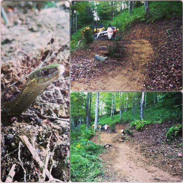
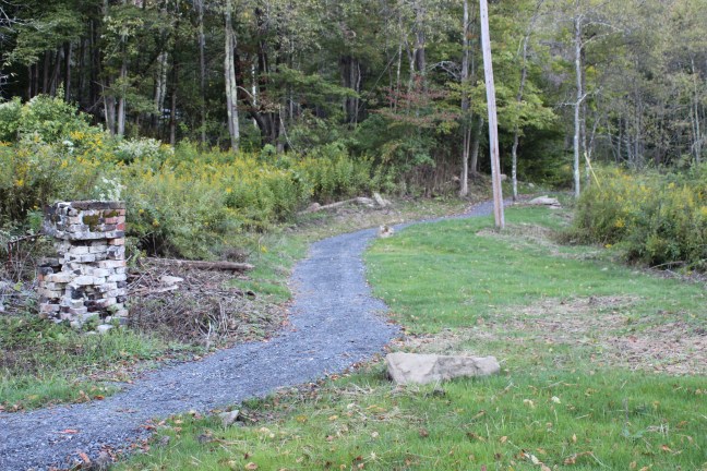
One particular project we took on this year (one of more than a few), struck a major chord for me because it makes a major multi-use (yes bikes are important to me) connection from one side of the Blackwater River to the other in the interior of Canaan Valley. A complex project with multiple phases. That means two isolated trail systems will now be connected with sustainable trail. The Blackwater View Trail project we undertook this year has many components to achieve connectivity: use change designation, sustainable upgrades on existing trail, environmental assessments, recreational easements on private property, major bridge construction, and new trail construction.
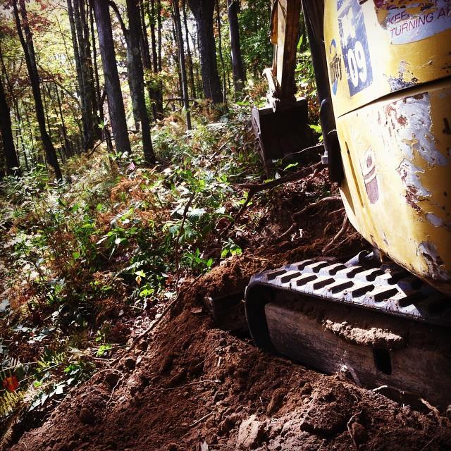
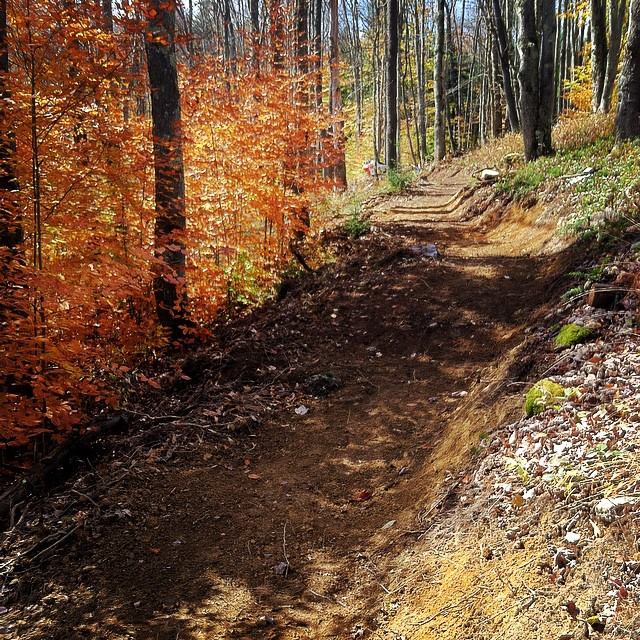
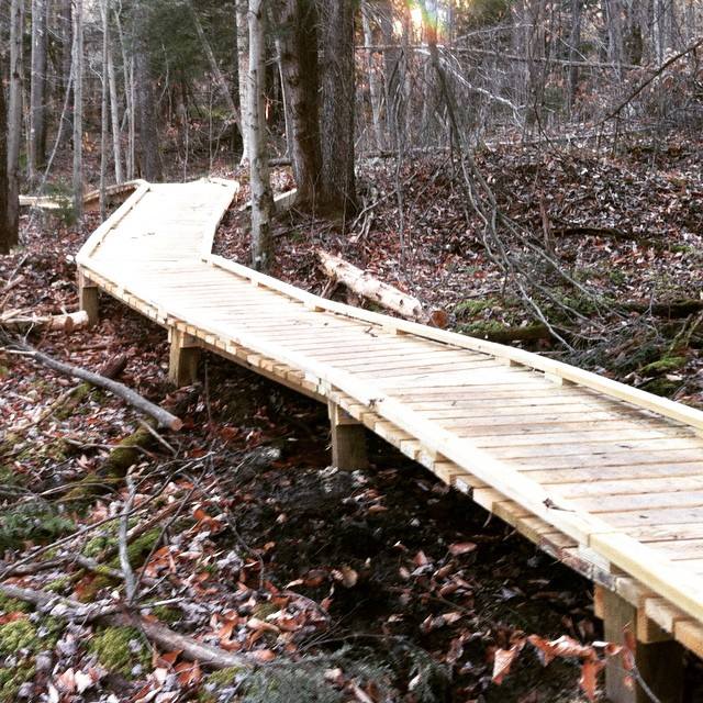
This year, we were able to follow through with planning and implement use designation and sustainable upgrades on existing trail as well as the first phase in new trail construction. We completed the first half of the new construction component during the fall, with 539′ of road to trail conversion, 958′ of new trail construction, and 224′ of rolling elevated boardwalk getting us closer to making this connection. A similar amount of road to trail conversion and new construction remains to be finished this coming year, as well as placing a major pedestrian bridge across the Blackwater River.
You can contribute, get involved, and follow along with the process by following Heart of the Highlands Trail on the web, receiving the newsletter, and liking their facebook page.